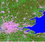
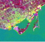
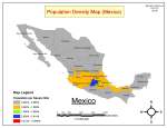
GIS Projects GIS 306 – K Means (Unsupervised) GIS 306 – ISODATA (Unsupervised) GIS 306 – Parrallelpiped (Supervised) GIS 306 – Minimum Distance (Supervised) GIS 306 – Maximum Likelihood (Supervised) GIS 306 – PCA GIS 306 – False Color GIS 306 – False Linear GIS 306 – Pseudocolor GIS 331 – Georectify GIS 313 – Data Analysis GIS 318 GIS 303 GIS 318 GIS 303 GIS 302 GIS 302 GIS 303 GIS 321 GIS 316 2viewsRossland Share this:TwitterFacebookLike Loading...